
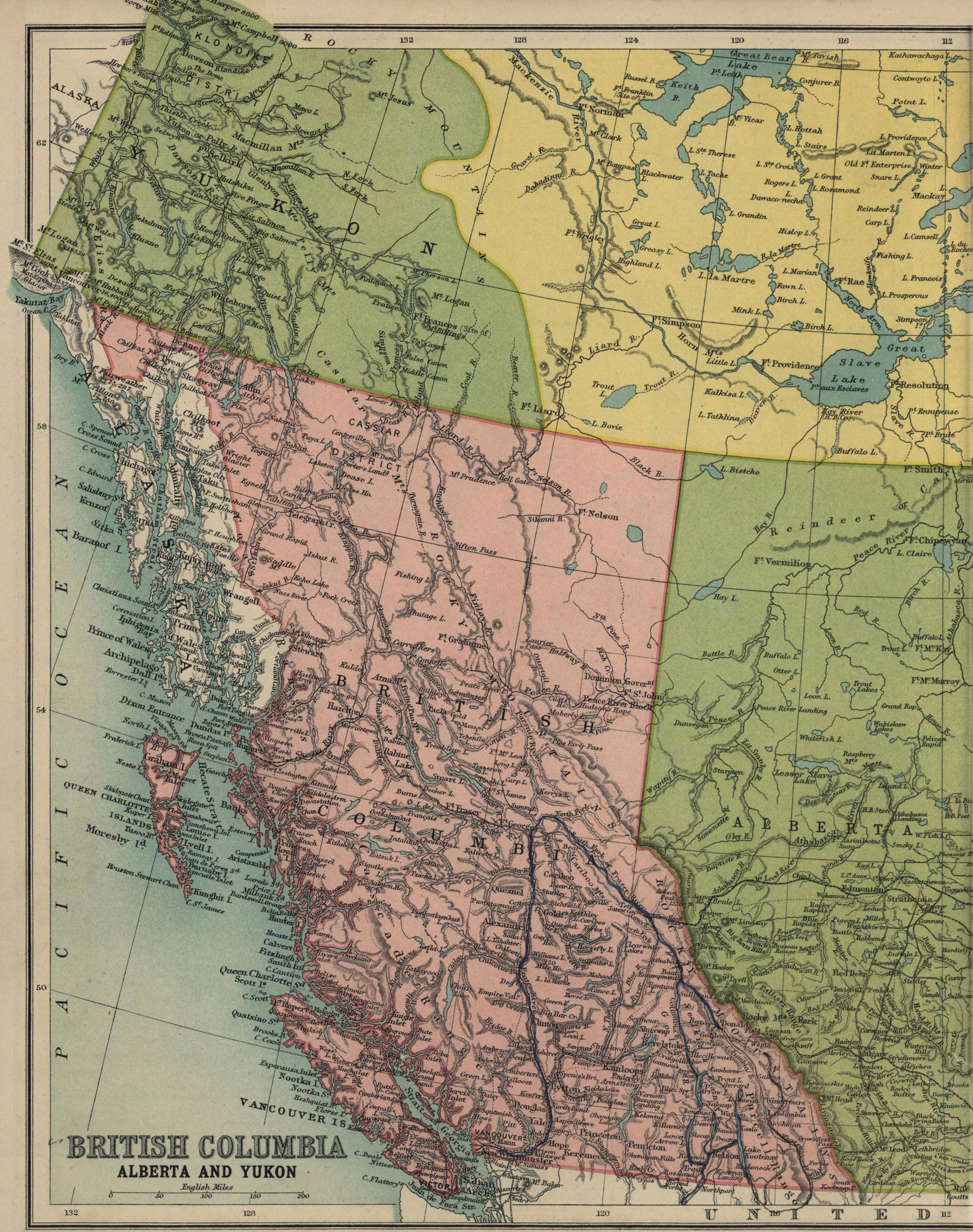
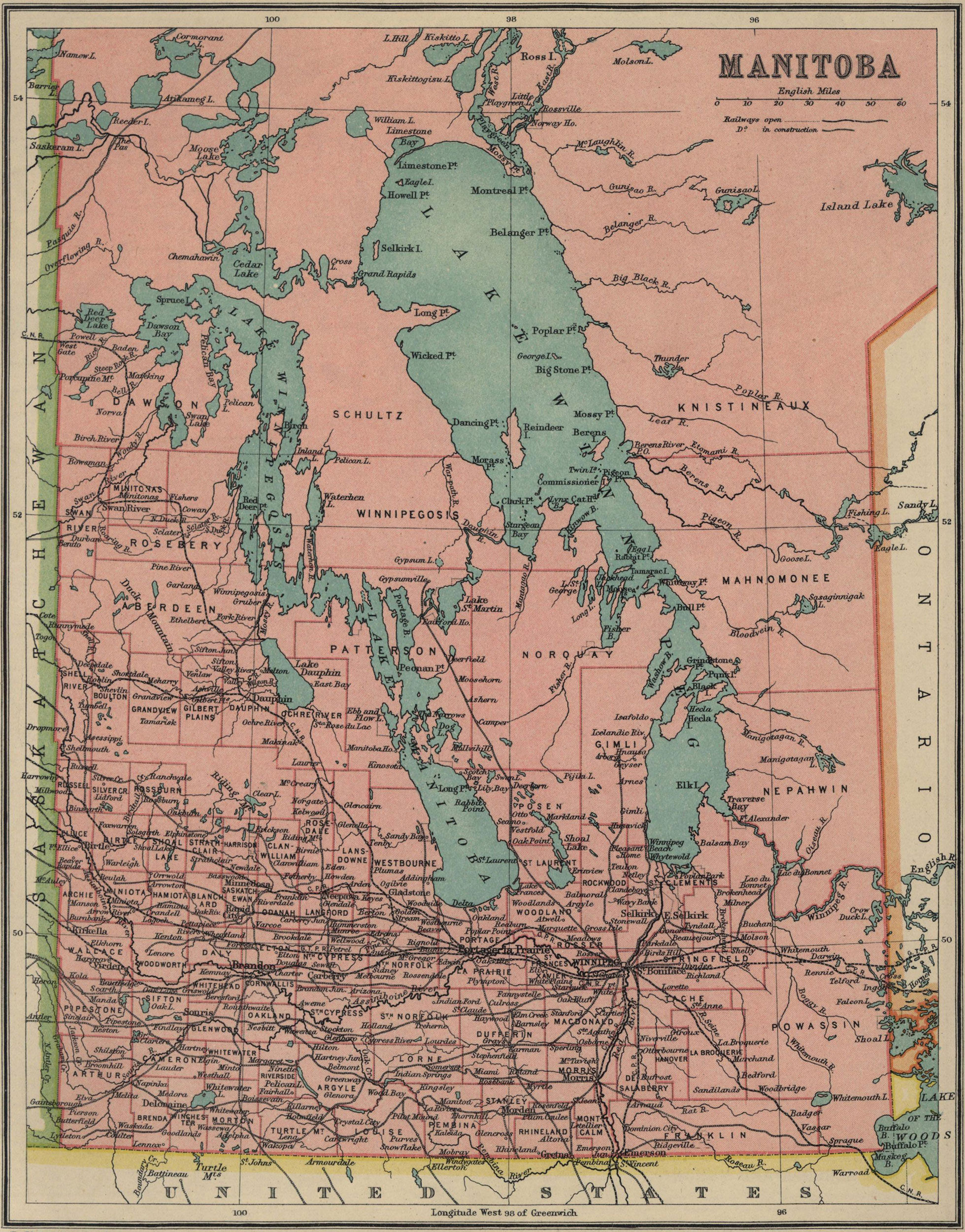
(From J. G. Bartholomew, Atlas for Canadian Schools: A New Series of Physical and Political Maps, London, Thomas Nelson and Sons, 1913)


(From M. L. W. Laistner, A Survey of Ancient History to the Death of Constantine, Boston, D.C. Heath & Co., 1929)
(From A. W. Ward et al., The Cambridge Modern History Atlas, Cambridge, Cambridge University Press, 1924)
(From James Westfall Thompson, Ancient History of the Middle Ages: 300-1500, New York, W.W. Norton, 1937)
(From Albert Bushnell Hart & alii, eds., American History Atlas, Third Edition, Chicago, Denoyer-Geppert Co., 1930)
(From Townsend Mac Coun, An Historical Geography of the United States, New York-Boston-Chicago, Silver, Burdett & Co., 1901)
(From Dixon Ryan Fox, Harper’s Atlas of American History, New York, Harper and Brothers Publishers, 1920)
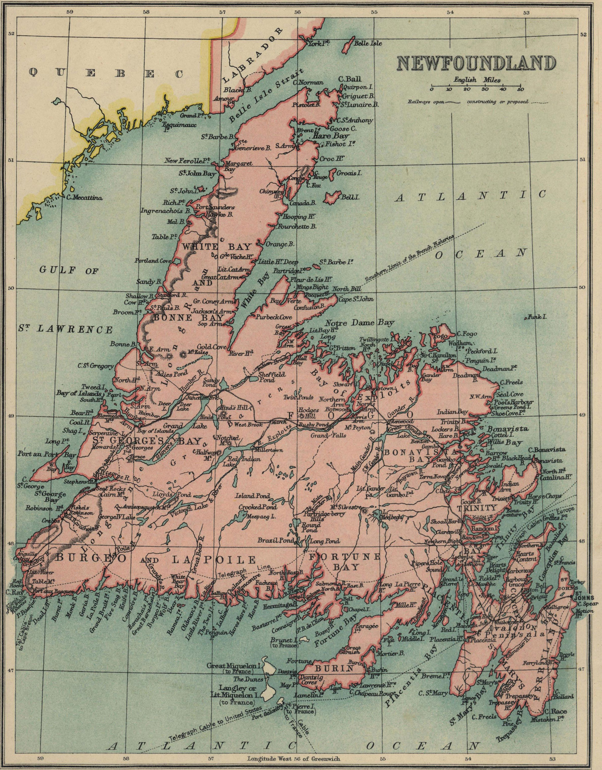
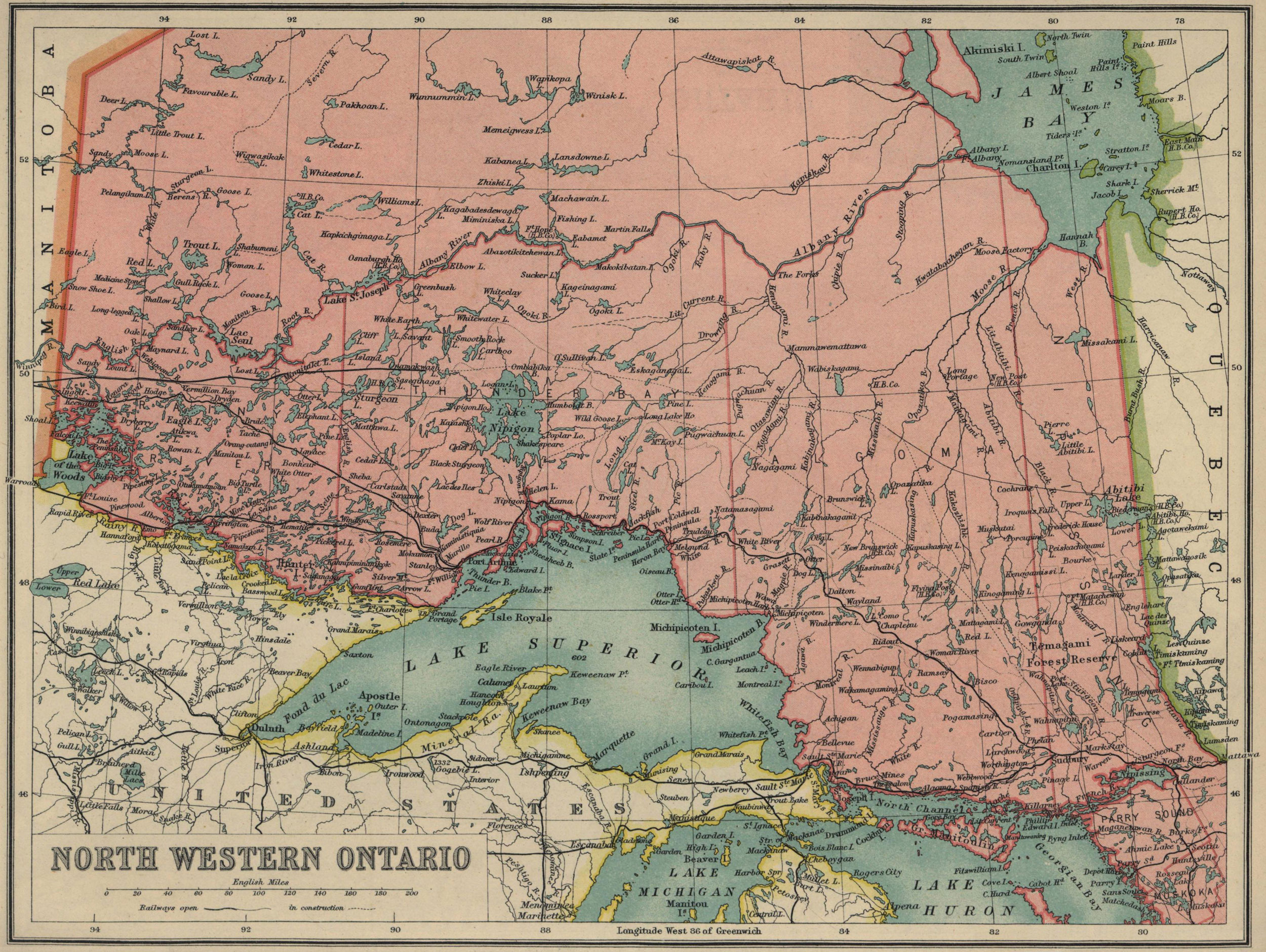
(From Lawrence J. Burpee, ed., An Historical Atlas of Canada, Toronto, Thomas Nelson & Sons, 1927)
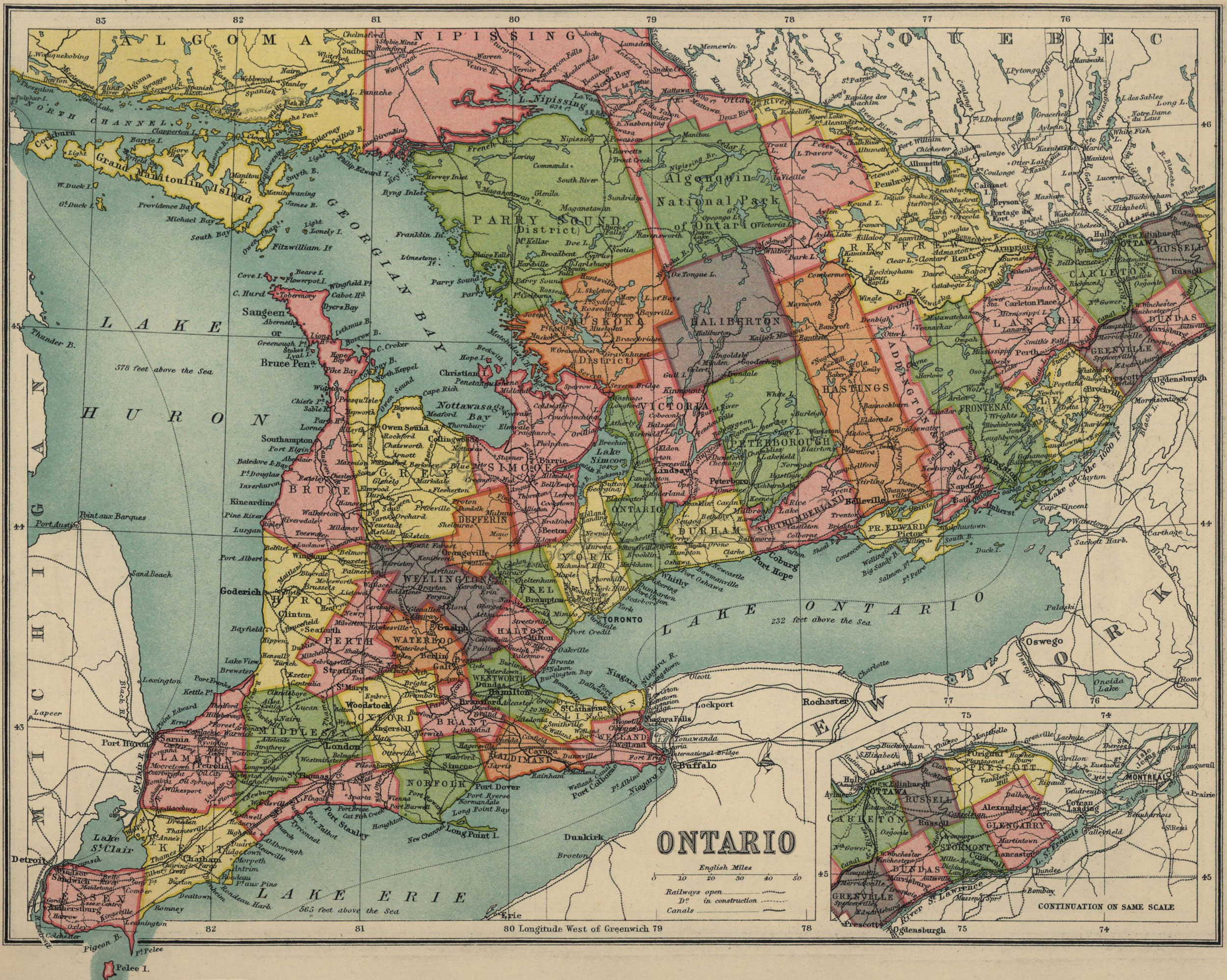
(From J. G. Bartholomew, Atlas for Canadian Schools: A New Series of Physical and Political Maps, London, Thomas Nelson & Sons, 1913)
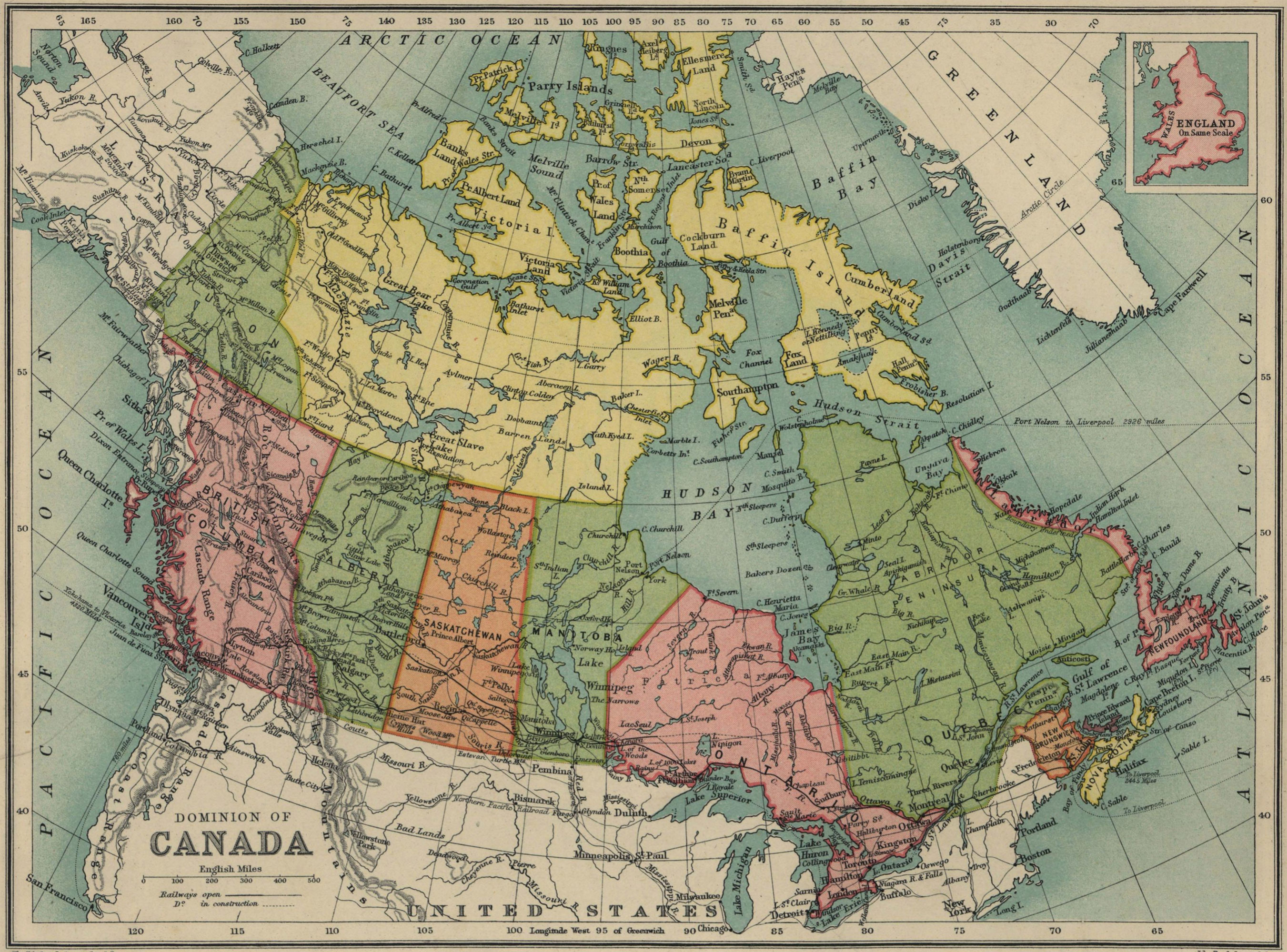
(From Clifford Sifton, Concise School Atlas of the Dominion of Canada, Ottawa, Minister of Interior, 1900)
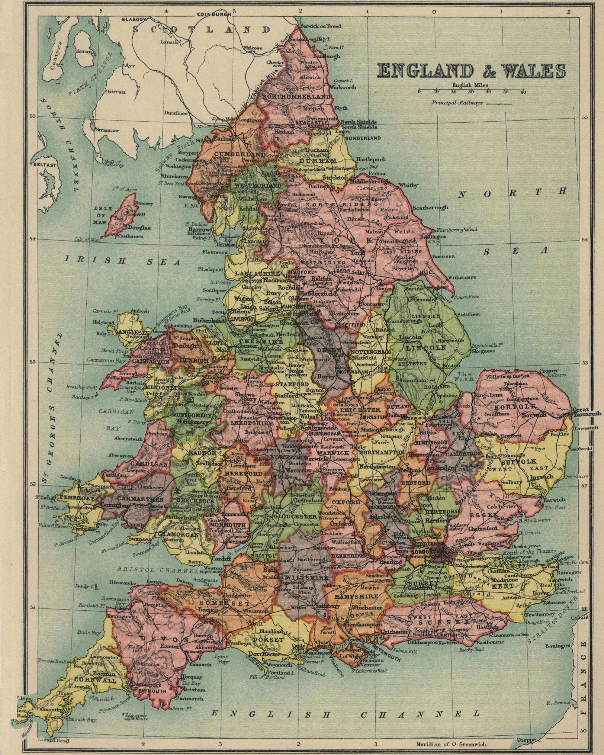
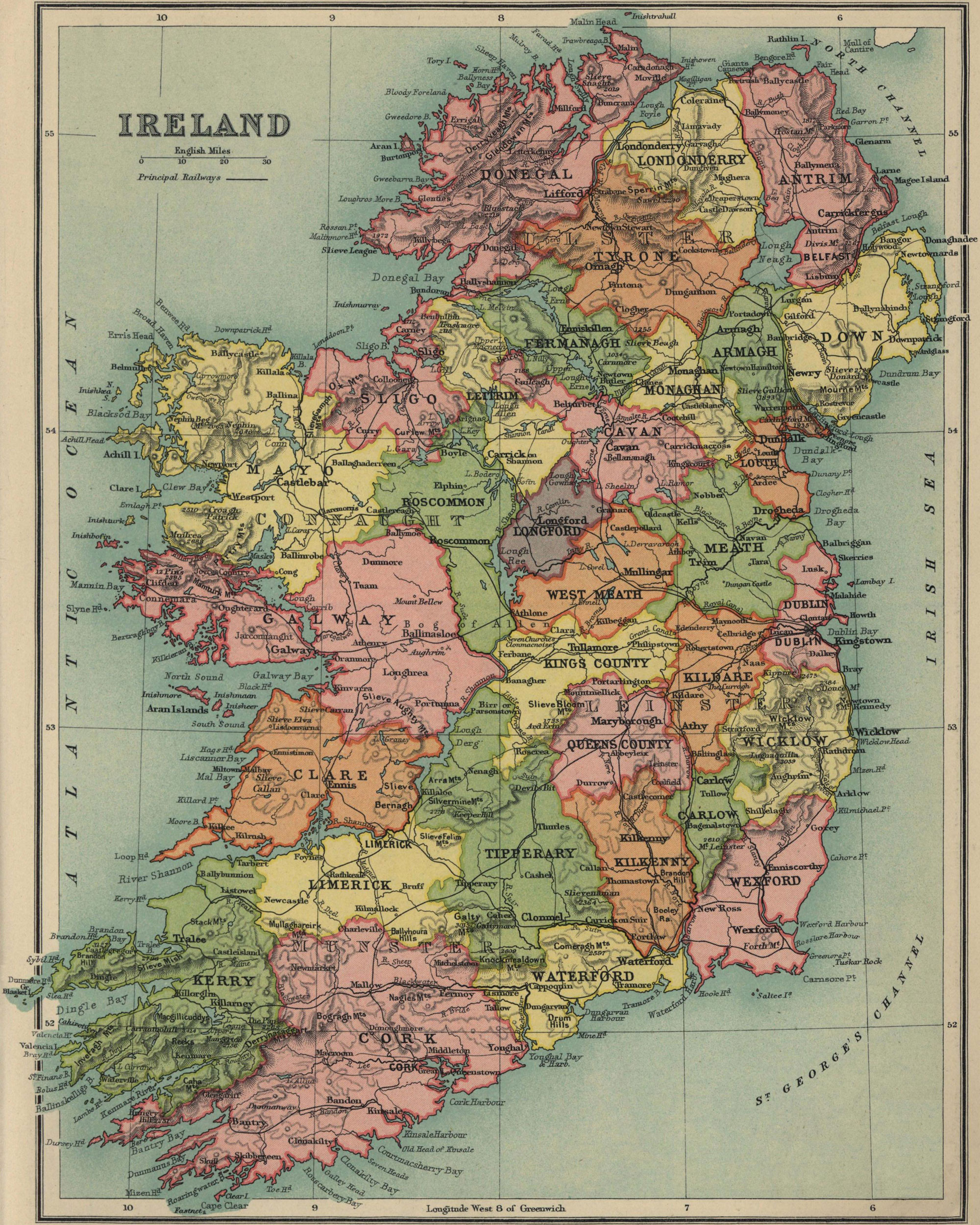
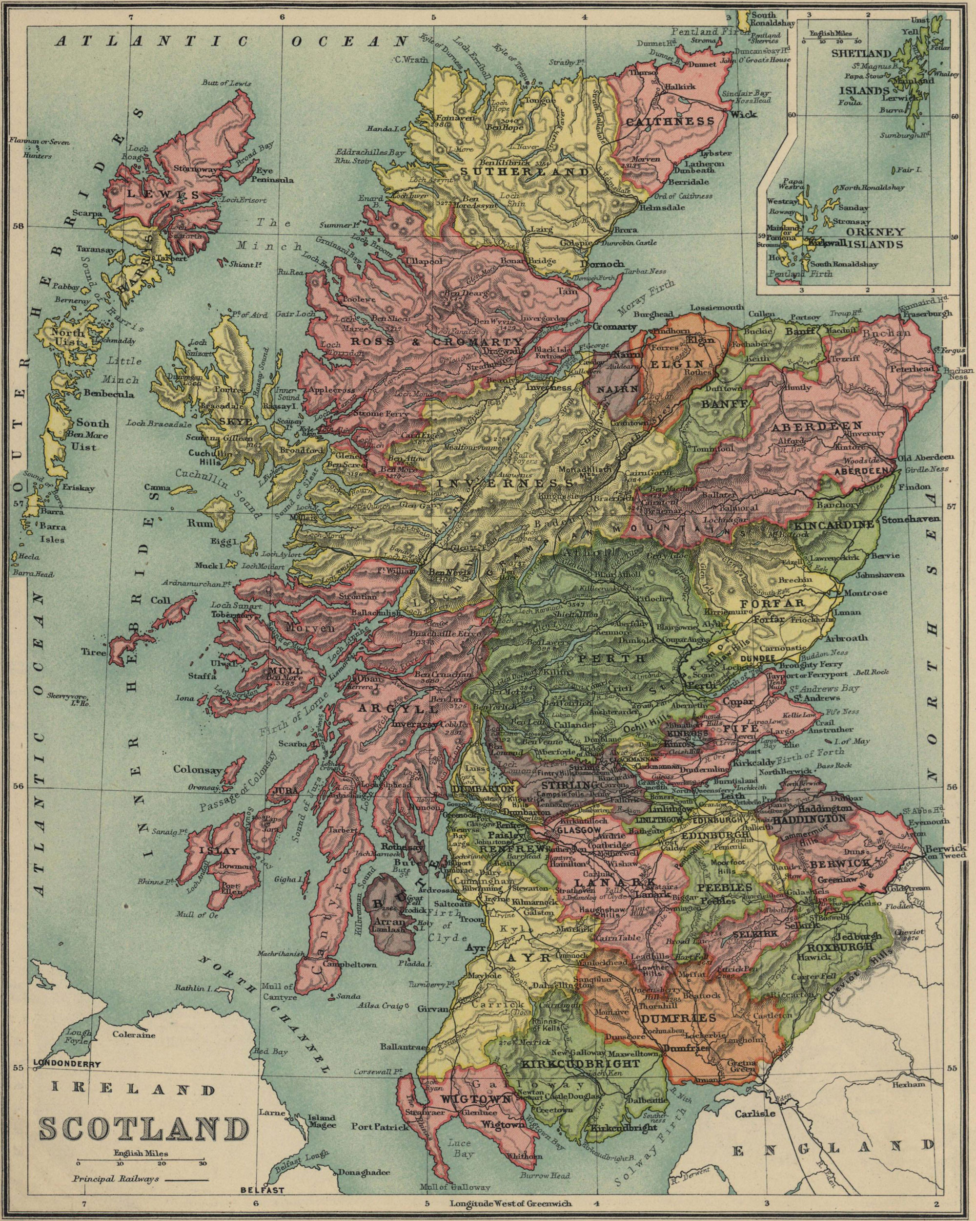
(From Emil Reich, A New Student Atlas of English History, London, Macmillan and co., 1903)
(From T. W. Higginson, E. Channing, English History for Americans, New York, Longmans, Green & Co., 1902)
(From Léon Mirot, Manuel de géographie historique de la France, Paris, Éditions A et J. Picard, 1947)
(From James Murdoch and Ysoh Yamagata, A History of Japan during the Century of Early Foreign Intercourse 1542-1651, Kobe, The Chronicle, 1903)